Greece. Kephallénia
Ancient Kephallénia (nearly 800 square kms), the largest of the Ionian Islands , had four ancient Greek poleis, Pale (near Lixouri), Krane (at Argostoli, the modern capital), Same (today's Sami), and Pronnoi, an inland city (supported by coastal Poros), each occupying a distinct part of the island. Nearby Ithaka (100 square kms) made up a fifth polis.
 |
|
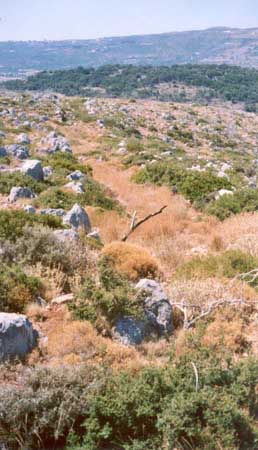
Krane or rather a New Krane, a metropolis which has been planned to be build around 300 B.C. Unknown reasons had stopped the execution of the project. In the picture - one of the outlined streets.
|
The landscapes of Kephallénia (and Ithaka) are highly varied and often dramatic. Precipitation is sufficient, and there are fine conditions for husbandry and agriculture in several places, including the low lands, as well as excellent natural harbours. The high mountains (1600+ m) of eastern Kephallénia still carry coniferous forests, an important ancient source of large timbers for ships and buildings.
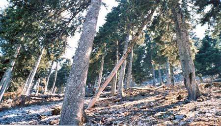
The high mountain ridge of Ainos (at1600 metres), southern Kephallénia, clad in pine forest.
In spite of the naval role and important strategic position of Kephallénia at the mouth of the Bays of Patras and Corinth , only little is known about its ancient history. Seemingly, the poleis of the island were never united. Coins were minted by the Kephallénian poleis from around 500 BC to the early fourth century BC, clearly a phase of independence, and mutual competition.

The Venetian fortress and harbour of Assos off the Epiros peninsula, North Kephallénia.
|